Lecture Details
John Edwards will discuss the process behind creating a new generation of hiking maps for Oman, drawing on his long experience exploring the Hajar Mountains and his deep engagement with Omani geography and institutions. His talk will explain how spatially accurate contoured maps can be produced anywhere in the world using publicly available topographic and cultural data, and how professional cartographers transform this data into the graphic building blocks used in modern map design. He will outline his own workflow, which combines specialist cartographic input with his use of Adobe Illustrator, OpenStreetMap data, personal GPX tracks and waypoints, and, where appropriate, supplementary information from Google Earth.
A significant part of the mapping challenge in Oman lies in the transliteration of Arabic place names into English. John will describe his collaboration with the Cartography Department of the Ministry of Defence, whose mandate includes ensuring consistency and accuracy in national place‑name spelling. This partnership ultimately led to the formal approval of his maps and the granting of a licence to sell them in Oman.
The lecture will conclude with insights from walkers who have used his maps and guidebook to complete sections, or the entirety, of the 209 km Western Hajar traverse, illustrating the growing impact of high‑quality mapping on Oman’s emerging mountain‑tourism economy.
About the Speaker
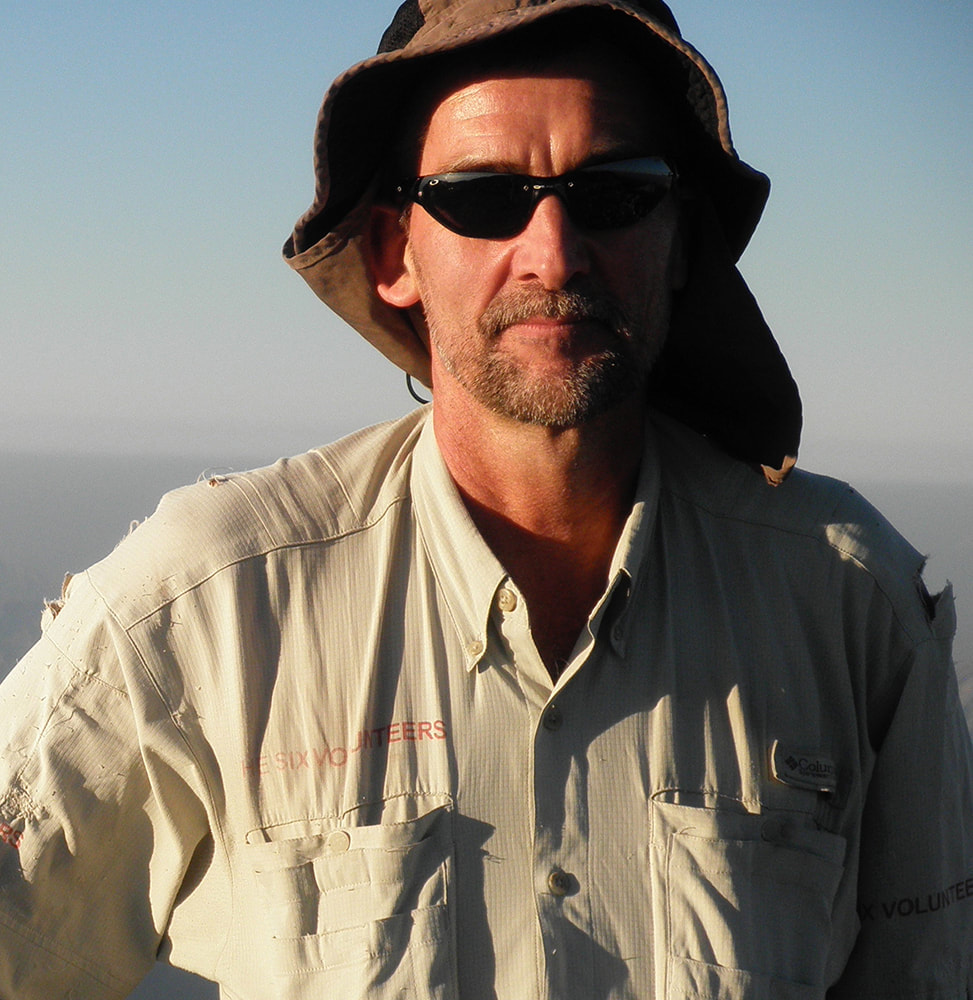 John Edwards is a petroleum engineer by training who spent many years living and working in the Sultanate of Oman. He first moved to Oman with his family from 1991 to 1994, returning again from 2002 to 2014. During this time he devoted his winters to exploring the Western and Eastern Hajar Mountains, developing a deep knowledge of the region’s landscapes, trails, and mountain communities.
From 2018 to 2019, John made repeated research trips from London to Oman while writing Wilderness Trekking Oman: 209km Traverse of the Western Hajar Mountains. The project included extensive archival work at the British Library and detailed field research across the Hajar range. His aim was to encourage long‑distance walking in Oman as a way to support the emerging network of mountain village guesthouses and to help sustain communities at risk of depopulation. The impact has been tangible: village hotels along the traverse have reported a steady flow of walkers carrying his book or maps and using their facilities.
Since publishing the book, John has produced six additional hiking maps covering routes in the Eastern Hajar, Jabal Al Kawr, and a detailed map of Wadi An Nakhur. His work combines on‑the‑ground exploration with modern cartographic techniques, contributing significantly to the accessibility and understanding of Oman’s mountain landscapes.
Alongside his cartographic and outdoor interests, John serves as an elected Councillor on the Common Council of the City of London Corporation and works in a joinery studio at the Blackhorse Workshop, where he designs and builds bespoke furniture.